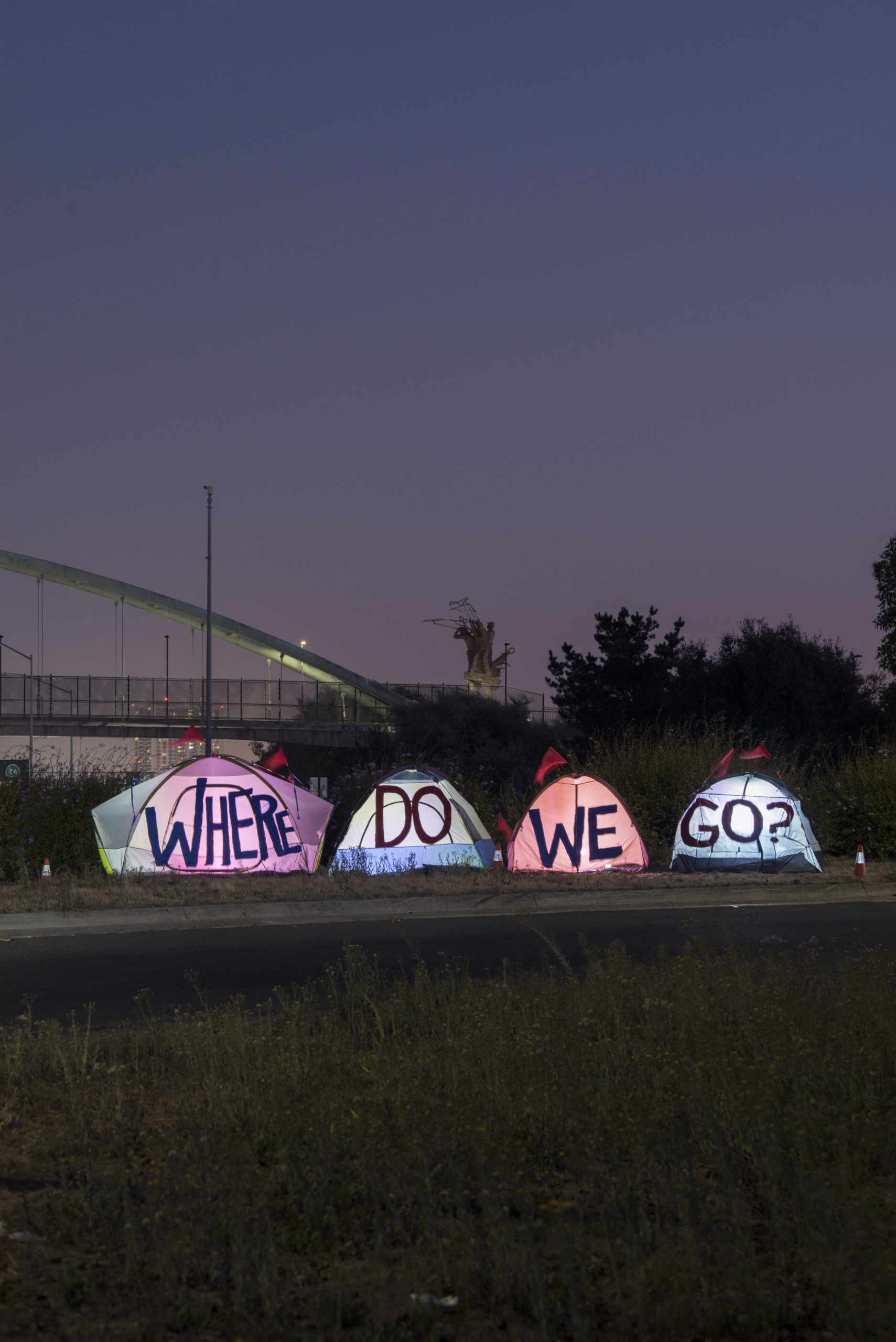
by Tiny
The flames of intense heat dehydrate
The water from floods drown our outside spaces
The Cold seeps into our torn clothes
Way down deep to our tired bones
The tornado winds
The sun beats in
The smoke will choke
But none so hard as the
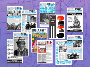
A Publication of the Coalition on Homelessness
by Tiny
The flames of intense heat dehydrate
The water from floods drown our outside spaces
The Cold seeps into our torn clothes
Way down deep to our tired bones
The tornado winds
The sun beats in
The smoke will choke
But none so hard as the
By Marisa Kendall/CalMatters
Jennielynn Holmes stood in the middle of a make-shift evacuation center when the scope of the crisis hit her.
Surrounded by thousands of people that had just fled the Tubbs Fire that burned through Santa Rosa in 2017, Holmes realized many of these people would soon be added to the area’s already extensive caseload of unhoused clients.
“This is the group of people (that) is one crisis away from entering homelessness,” thought Holmes,
by Volker Macke
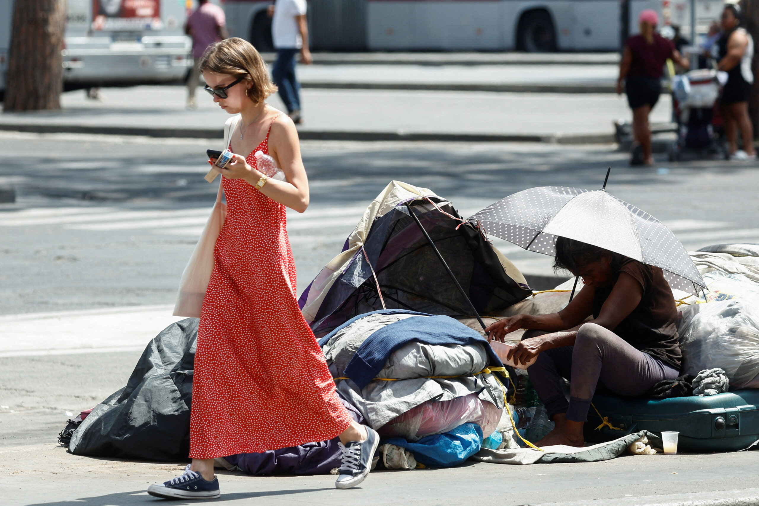
According to a new British study, people experiencing homelessness have, by the age of 43, an average state of health equivalent to that of an 85-year-old with a home. Common health complaints include heart disease, respiratory issues, organ damage and infections caused by poorly healing wounds. Heat waves can also be as fatal for people sleeping rough as they are for elderly people.
For years,
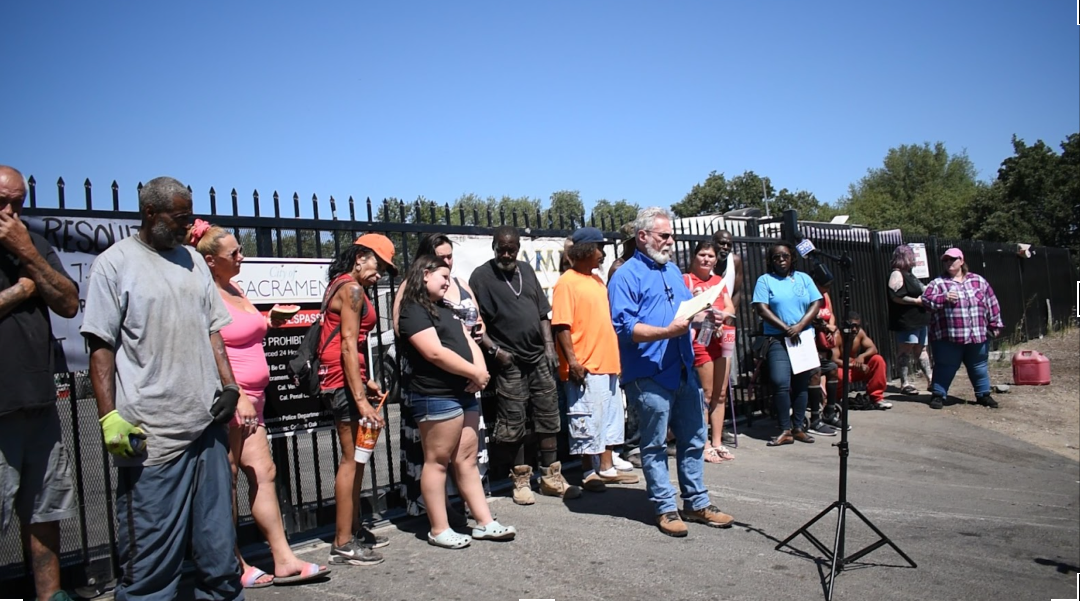
Story and photos by Isidore Mika Székely Manes-Dragan
Residents of Camp Resolution stand behind Anthony Prince in front of the gate (photo by Isidore Mika Székely Manes-Dragan)
Three weeks after the City of Sacramento stopped water delivery to Camp Resolution, and one week after camp residents announced that they would resist an unwanted inspection, camp members are now being forced to terminate their lease.
The residents at the self-governing homeless encampment,

The CalEnviroScreen map is a pollution tracking tool developed to more clearly identify California communities with high environmental burdens and better focus where state and federal funding should go. However, when LaDonna Williams looks at this map, she notices the environmental hazards that the cartographers missed.
“Some of these communities have several exposures,” Williams says. Some are simultaneously situated next to raw sewage plants, refineries and highways. But when this data is translated through the CalEnviroScreen scoring system,
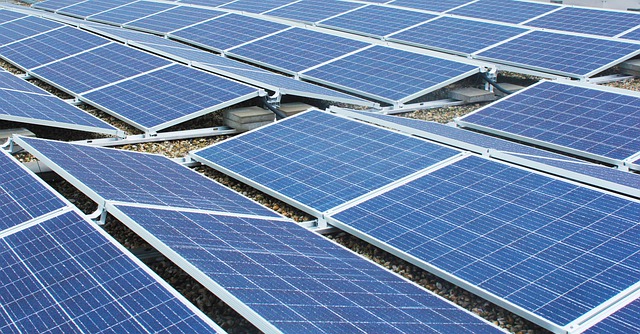
Developing nations could go solar in fighting climate change
We all know that fossil fuels cause the greenhouse effect and global warming. The question is how to stop it. For decades, activists protested against nuclear power. Germany closed many nuclear power plants. To generate electricity they are now burning dirty coal. Green energy—wind and solar—is still a very small part of the energy mix worldwide. Meanwhile, the greenhouse effect is becoming stronger and more deadly.